

Products
Geophysical instruments from ABEM and MALÅ, available to buy or rent with local training and support.
Filter
Product photo
✅MSP RAPID™ CONVERGENCE ✅MSP RAPID™ DATACECKER ✅MS RAPID™ CONVPRO ACCURATE ROBOTIC MONITORING SOLUTION
Monitoring is used to determine the movement and deformation of any structure.
Product photo
Software GEObit
All the latest software tools are available here for free download. Software for CORE24/32 data format files used on standalone GEObit recorders.
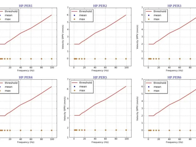
GEOshock – Peak Velocity Value Calculator
GEOshock – Peak Velocity Value Calculator The GEOscock software is a peak velocity value (PPV) calculator in real-time or in playback. The software gets the real-time seedlink streams of the seismic recorders and calculates PPV in real-time at several pre-defined frequencies. Default frequency values are 1Hz, 2Hz, 3Hz, 5Hz, 10Hz, 20Hz, 40Hz, 60Hz 80Hz and […]
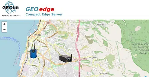
GEOedge Server
GEOedge Server Web-based client/server architecture accessible from any web browser Full support of Earthworm tool chain Real-time data sharing for all station streams received Real-time signal display of any number of incoming streams Support of SEEDlink protocol and MiniSEED format Receives data over multiple links and protocols including TCP/IP, seedlink, etc. Capability to apply any […]

Aarhus Workbench & Aarhus SPIA
Aarhus Workbench & Aarhus SPIA The software developed by Aarhus GeoSoftware is based on extensive user experiences with various electrical and electromagnetic geophysical methods. AARHUS SPIA is aimed at geophysical soundings measured as either Vertical Electrical Soundings (VES) or Transient Electromagnetic (TEM) soundings whereas processing and inversion of profile-oriented data as ERT/IP, GCM or even […]
Facilitated data import from ABEM instruments
Product photo
MALÅ Vision Desktop
MALÅ Vision Desktop MALÅ Vision Desktop is now officially available for download! Contact us for a demo including a free and fully functional demo-license. MALÅ Vision Desktop makes planning, processing, and reporting of 3D GPR array data easy. Built on the powerful MALÅ Vision platform, the intuitive desktop software can handle large arrays of data […]

MALÅ Object Mapper 2018
Intelligent GPR processing and analysis software on any device
Facilitated data import from ABEM instruments
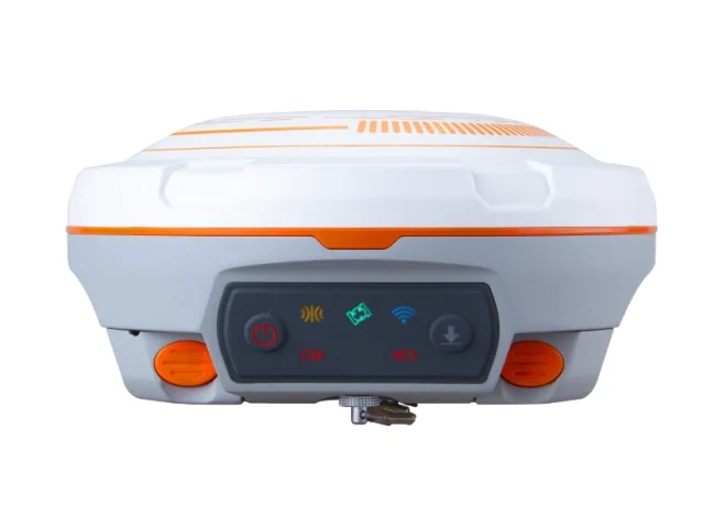
GPS RTK
GPS RTK GNSS – N3 IMU & JUPITER Optimize your survey potential with our versatile ComNav GNSS rental solutions, designed to tackle both vast landscapes and complex urban environments. For maximum endurance, the ComNav N3 IMU serves as a rugged workhorse, utilizing the K8-platform and Enhanced UHF to achieve a 15 km working range with […]
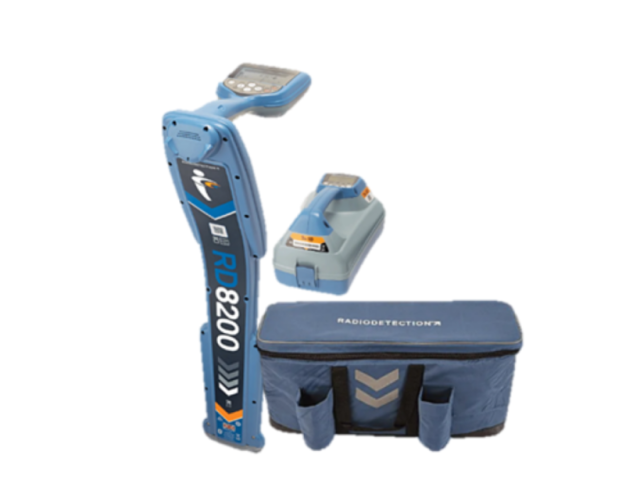
Radiodetection RD8200 [Receiver & Transmitter]
RD8200 Cable And Pipe Locators The Radiodetection RD8200 is the industry standard for precision damage prevention. Designed for heavily congested underground networks, this advanced locator combines speed, accuracy, and reliability to prevent utility strikes. The RD8200 ensures precise depth readings only when the locator is correctly oriented. It excels in noisy environments with Dynamic Overload […]
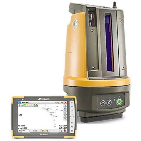
TOPCON LN-150
TOPCON – LN 160 The Topcon LN-150 Layout Navigator bridges the gap between digital design and the physical job site. It is the world’s first 3D layout tool designed specifically for construction verification, allowing you to move from paper plans and tape measures to a fully digital workflow. Unlike complex surveying instruments, the LN-150 is […]
Up to 12 measurement channels for high speed data acquisition.