MALÅ GeoDrone 80
MALÅ GeoDrone 80 is the cutting-edge solution for unmanned surveying in dangerous areas
Available to buy or rent. Training and local support included.
Product details
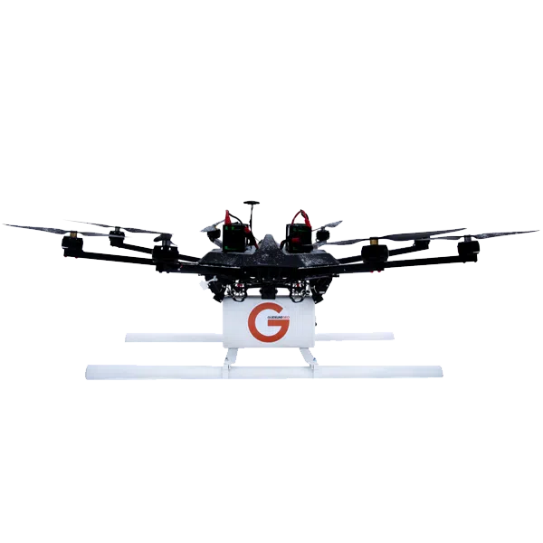
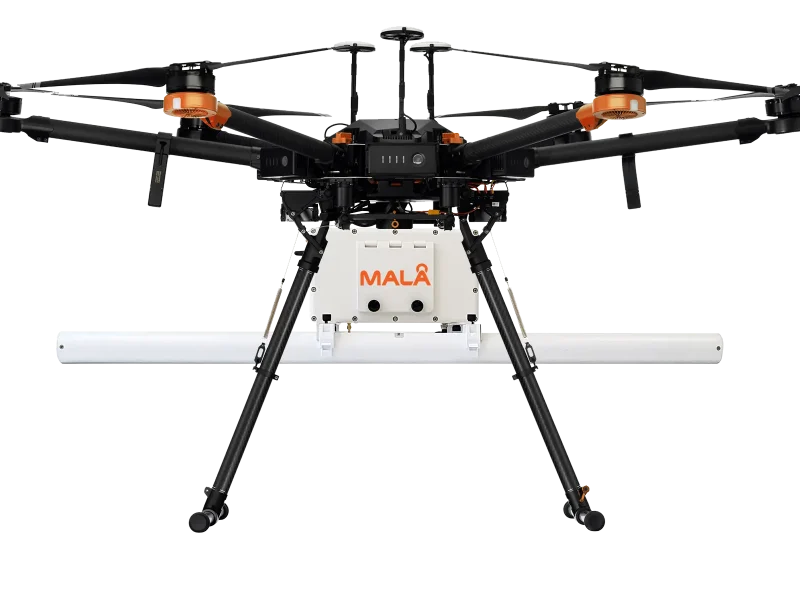
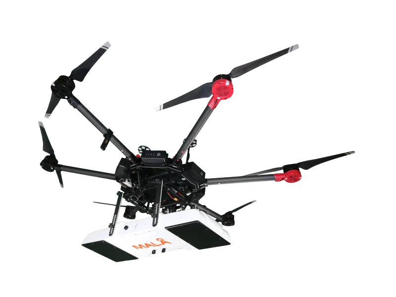
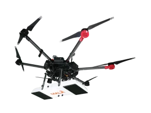
The MALÅ GeoDrone is a state-of-the-art airborne Ground Penetrating Radar (GPR) system designed for rapid, non-contact subsurface mapping in challenging and hazardous environments. Engineered to be carried by commercial enterprise UAVs (drones), the GeoDrone breaks the barriers of ground-based surveying.
Powered by MALÅ’s High Dynamic Range (HDR) technology, it allows geophysicists, surveyors, and environmental engineers to collect high-density, deep-penetration GPR data across impassable wetlands, dense snow, steep slopes, or contaminated sites—completely non-destructively and safely from the air.
GeoDrone 80
- Maximum Signal Penetration: The 80 MHz low-frequency antenna optimizes electromagnetic wave penetration to reach deep targets through thick soil, vegetation, freshwater, snowpack, and ice.
- Ultra-Lightweight Carbon-Fiber Design: Constructed from composite materials to minimize overall payload weight, maximizing flight endurance when paired with standard industrial heavy-lift drones.
- Primary Applications:
- Peatland & Carbon Stock Mapping: Accurately measure peat deposit thickness and volume for environmental restoration and carbon credit verification.
- Glaciology & Polar Research: Profile ice thickness, map glacier structures, and detect dangerous crevasses from a safe flight altitude.
- Freshwater Bathymetry: Conduct non-contact bathymetric profiling of rivers, lakes, and industrial tailings ponds without launching boats.
- Bedrock Topography Profiling: Identify soil-to-bedrock interfaces and major structural fault lines on steep slopes or cliff faces.
GeoDrone 600
- True airborne non-contact GPR data collection for hazardous site surveys.
- State-of-the-art MALÅ 80 MHz HDR antenna technology for deep penetration and low noise.
- Ultra-lightweight design optimized for maximum enterprise drone flight endurance.
- Real-time wireless data streaming to ground controller tablets for live QC.
- Seamless export formats compatible with standard GPR post-processing software (rSlicer, MALÅ Vision, GPR-SLICE).
Glaciology & Polar Research
Rapidly map glacier beds, snow accumulation, and permafrost dynamics over vast, frozen terrains.
Peatland & Carbon Stock Assessment
Measure peat depth and volume accurately for environmental restoration and carbon credit verification.
Freshwater Bathymetry
Conduct non-contact bathymetric surveys of lakes, rivers, and tailings ponds without launching boats.
Geological & Bedrock Profiling
Identify soil-to-bedrock interfaces, major fault zones, and groundwater tables in steep or unsafe terrain.